
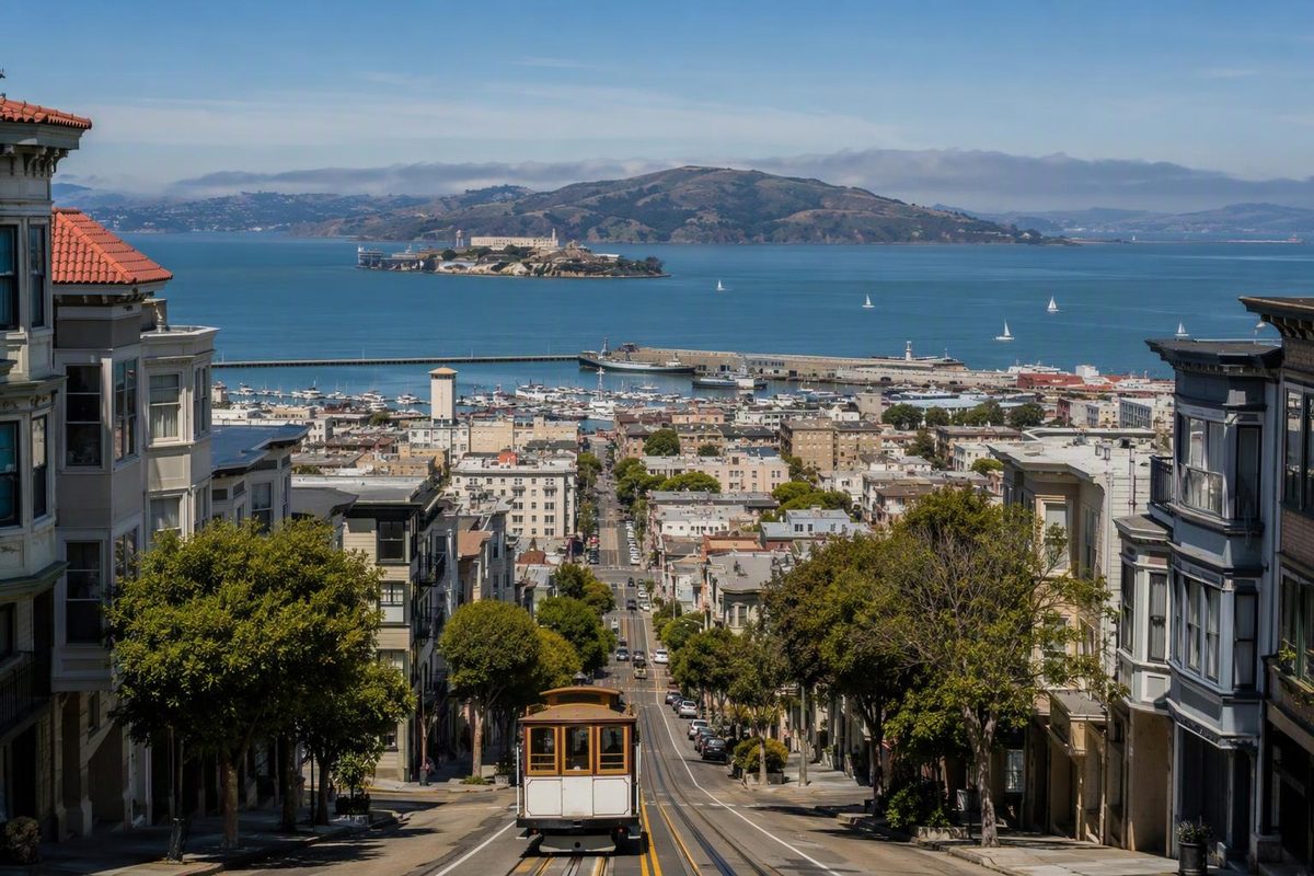
San Francisco has 46.91 square miles of land—about 121.5 square kilometers, according to the Census Bureau’s 2020 geographic figures. That makes it compact enough to explore neighborhood by neighborhood, but not a city where every sightseeing trip should be a walk. U.S. Census Bureau
Is San Francisco really 7 miles by 7 miles?
“Seven by seven miles” is a common shorthand, used by San Francisco Travel. The tourism organization also describes the city as 49 square miles.
Treat those as an easy way to picture its scale, not a precise square boundary. For a measured land-area answer, use 46.91 square miles. Land area also excludes water, so it is different from a total-area figure that includes water within municipal boundaries.
If you mean “big” by population, San Francisco had an estimated 826,079 residents on July 1, 2025. That is a population estimate, not a 2026 head count. U.S. Census Bureau
San Francisco is also not the whole Bay Area. The regional census portal covers nine counties and 101 cities—a much larger planning territory than the city itself. Don’t use regional population figures or a Bay Area map to judge distances within San Francisco. Bay Area Census
What its size means for your visit
Walk within a cluster; use transit between distant clusters. That is a more useful rule than trying to cover the entire compact-looking map on foot.
The catch is elevation. San Francisco’s interior is hilly, while much of its waterfront is flat. A short route inland can demand more effort than a longer waterfront stroll. San Francisco Travel’s waterfront guide
A simple way to put that into practice:
- For a lower-climb outing: start at the Ferry Building, walk north along the Embarcadero to Pier 15, and continue toward PIER 39 only if you want a longer walk. These stops follow the same waterfront corridor rather than requiring repeated inland detours. Waterfront guide
- For a cross-city sightseeing day: choose one main area for the morning and another for the afternoon, with a transit trip between them. Muni’s buses, Metro trains, historic streetcars and cable cars serve the city; use the SFMTA trip planner for your actual endpoints.
- For rain or uncomfortable waterfront conditions: shorten the outdoor section and make the Exploratorium at Pier 15 your main stop. It is a waterfront museum between the Ferry Building and PIER 39; check its calendar before committing, since regular hours list Monday as closed. Exploratorium visitor information
When choosing accommodation, prioritize the neighborhoods you expect to revisit and the climb from transit to your door—not just how central the hotel looks. Our neighborhood comparison separates sightseeing, overnight-stay and daily-life choices.