
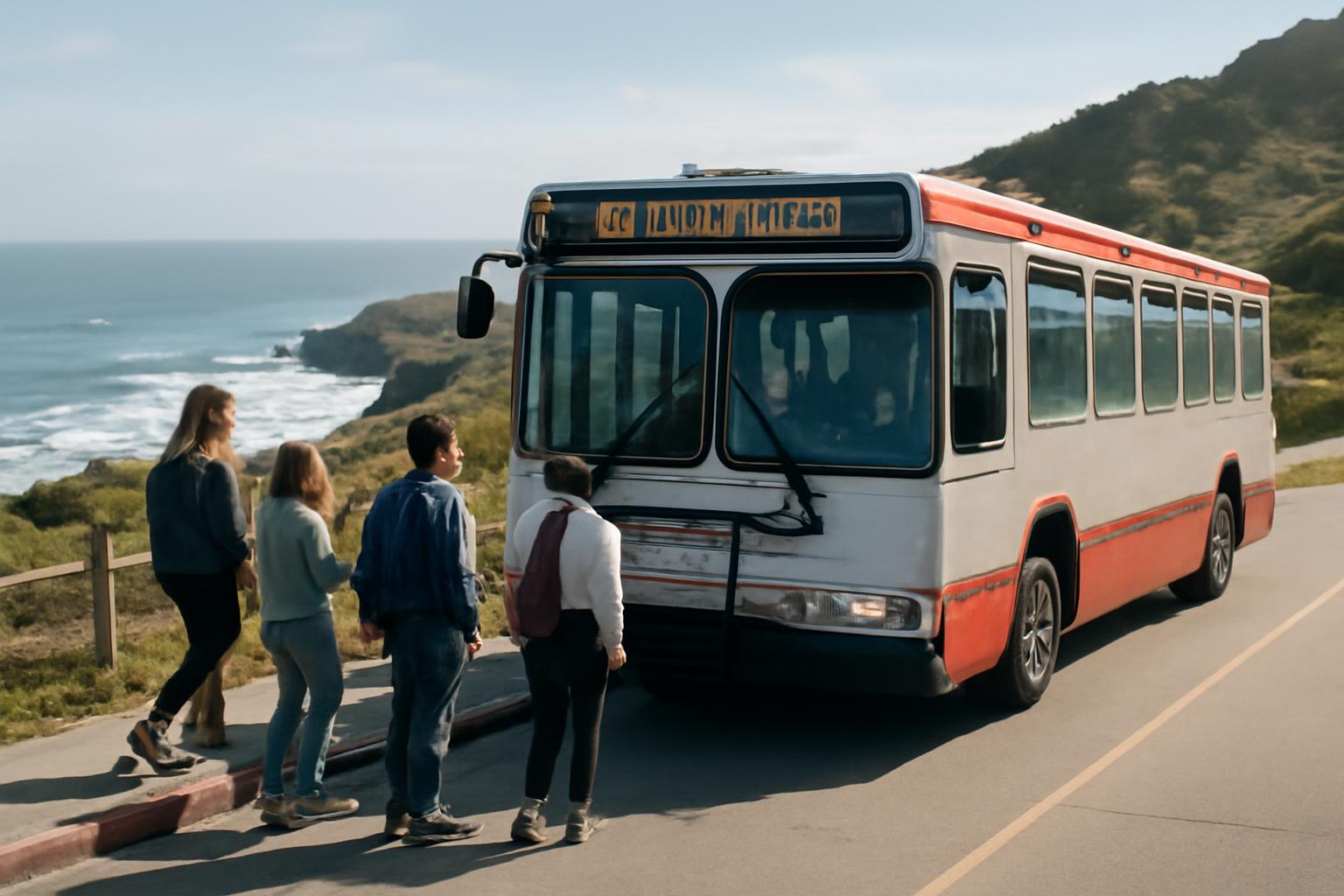
If you’re planning a lands end coastal trail san francisco transit day, the most dependable answer is also the simplest: use transit to reach the west-side trailhead, start near Lands End Lookout, and let the walk stay about cliffs, cypress, and bridge views instead of parking turnover.
That framing matters here. Official park sources clearly recommend transit to Lands End, but they do not provide a full, current, stop-by-stop MUNI guide on the page itself. So the most honest way to plan this outing is: use the park sources for the big picture, use traveler-reported route patterns carefully, and confirm the live MUNI trip before you leave.
The core trail is short enough for a half-day, linear enough to support one-way variations, and scenic enough that it benefits from a clean arrival. You ride west, walk the coast, and either return from the same side or exit farther east if the day is going well.
Why Choose Transit for Lands End Coastal Trail
For most visitors, transit is not just an acceptable backup plan here. It is the preferred plan. The Golden Gate National Parks Conservancy says directly on its Lands End page that public transportation is the best way to get there on the Lands End page.
That recommendation makes more sense the moment you separate free parking from easy parking. Parking is available at the main Lands End Lookout/Merrie Way side and on the El Camino del Mar side, and visitor writeups commonly describe it as free, but they also describe it as limited. A recent first-timer guide recommends public transportation as the better choice, notes that parking is limited, and warns visitors not to leave valuables in the car on the Lands End Trail guide.
That parking issue is only part of the case for transit. The bigger advantage is flexibility. Lands End is one of those San Francisco walks where many people do not want a strict out-and-back. They want to start near Sutro Baths, walk the dramatic coastal section, and decide later whether to turn around, loop back, or finish farther east. Transit supports that shape naturally. Driving does not.
The geography helps too. Lands End sits on the far northwestern edge of the city, which sounds inconvenient until you remember how San Francisco travel actually works for visitors: westbound corridors matter more than straight-line distance.
There is also a mood advantage. Lands End is exposed, windy, and photogenic. It is a better experience when your attention goes to the coastline rather than to whether your car is safe, whether your parking spot will expire, or whether you now have to retrace the exact same trail because your vehicle is waiting at the trailhead.
Lands End Coastal Trail Overview and Key Access Points
One reason this place confuses first-time visitors is that different guides use nearly the same name for different outings. If you want a stable baseline, TrailLink lists the Lands End Trail at 1.6 miles, running from Merrie Way & Point Lobos to El Camino del Mar west of 32nd Avenue on the Lands End Trail entry.
Some hikers mean an even shorter west-to-east scenic segment. One hike description measures the section from the Lands End Lookout Visitor Center to Eagle’s Point Overlook at 1.4 miles one way, which is why the short “classic” walk often feels shorter online than the longer loop descriptions do on the Lands End section hike writeup.
For most visitors, the main access point is the Merrie Way / Point Lobos side at the Lands End trailhead. The National Park Service describes that trailhead as the easiest access point to the 2.9-mile out-and-back Coastal Trail and says the area includes a large parking lot, bathrooms, a café, and a visitor center with trail maps. The same page also says the first part of the trail is wheelchair accessible to Mile Rock Overlook on the Lands End Trailhead page.
That distinction matters more than many visitors expect. You can absolutely plan an accessible Lands End visit around the Merrie Way side, the visitor center, and the initial overlook stretch. But that does not mean the entire coastal route stays accessible. Past the easier opening section, stairs and narrower trail segments become part of the experience.
The visitor-center side is also the best start for transit users because it gives you orientation before you walk. A third-party trail guide describes the Lands End Lookout / Visitor Center as open 9 a.m. to 5 p.m. daily except major holidays, with restrooms, a café, and maps available near the start on the Trees and Tents guide.
Other entry and exit points are useful, but they work best when you already know what kind of day you want. El Camino del Mar can serve as an alternate access or return side. Eagle’s Point can be a natural endpoint for a short one-way. And if you keep extending east toward China Beach, Lincoln Park, or the Legion of Honor side, you have moved from “short scenic walk” into “bigger itinerary” territory.
MUNI 38 Geary: Direct Access from Downtown San Francisco
If you are staying in Union Square, Nob Hill, or the central hotel belt, the most consistently mentioned bus pattern is the 38 Geary, often with the 38R Geary Rapid noted alongside it. A recent visitor guide says Lands End is reachable from downtown by public transportation and specifically names buses 18 and 38 as the useful routes on the first-timer’s transit overview.
That makes intuitive sense on the city map. Geary is a major westbound corridor, and for many downtown visitors the real problem is not whether a car could reach Lands End. Of course it can. The problem is whether driving across the city actually improves the day. Often it does not.
Where you need to stay careful is the final routing detail. A Tripadvisor forum discussion about visiting Lands End from the Fairmont describes the 38 Geary and 38R as the key lines for the westbound approach, but also notes that not every westbound trip behaves the same way; posters specifically described some trips ending earlier, such as around 33rd Avenue or the VA Hospital, rather than all following the outermost pattern on the Fairmont-to-Lands End forum thread.
That is why the best operational habit is not memorizing a branch pattern from a blog or forum post. It is using those reports only as a framework:
- if you are starting downtown, think 38 / 38R westbound
- aim for the Lands End Lookout / Sutro Baths side
- treat the Lookout as your true trail start
- verify the exact live trip before you leave
In other words, the route family is useful knowledge. The exact trip you board is day-of information.
That still leaves you with a practical advantage over driving: once you arrive on the west side and step into the Lookout area, the rest of the day becomes very legible. Bathrooms, maps, and the obvious opening path are all right there. For a first visit, that clarity matters more than shaving a few uncertain minutes off the ride.
One-Way Hike Returns: Bus 18 and Other Connections
The smartest reason to use transit at Lands End is not the ride to the trail. It is the freedom it gives you after the walk starts.
A common visitor-planning pattern is to begin on the Lookout / Sutro Baths side, walk eastward through the main coastal section, and finish closer to Eagle’s Point, Lincoln Park, or the Legion of Honor side. In traveler discussions, the return option most often attached to that shape is the 18, while older one-way advice for longer bridge-oriented extensions also mentions the 28 as part of the return picture on the Tripadvisor one-way planning thread.
That is useful advice, but it should be read for what it is: a common pattern, not a permanent timetable. The evidence here supports saying that travelers often use the 18 for east-side returns and sometimes mention the 28 for bigger extensions. It does not support publishing a rigid, official-sounding route sequence.
The easiest way to keep this straight is to plan by hike shape, not by bus trivia:
- Short first visit: start at the Lookout and walk out-and-back.
- Relaxed one-way: start at the Lookout, finish farther east, then use transit back into the city grid.
- Longer bridgeward extension: plan the return before you start, because you are no longer doing just the short Lands End coastal section.
That framing also matches how Lands End actually feels on the ground. The west-side entry is the clearest. Transit lets you use the place in that order.
Transit from Neighborhoods and Visitor Hubs
From a visitor’s perspective, the real question is usually not “Can I get there by MUNI?” It is “What is the least annoying transit shape from where I’m staying?”
If you are based downtown, near Union Square, or up around Nob Hill, the practical framework is still the same one introduced above: think westbound first, and think 38-family service before you think about anything else. That is the most consistently reported downtown pattern in the evidence.
If you are staying closer to the Marina, Sea Cliff side connections, or other north-side neighborhoods, the 18 becomes more relevant as either an alternate access idea or, more commonly, a one-way return tool after you finish farther east. That does not make it the universal best bus. It just means it matters more once your hike stops being a simple out-and-back from the Lookout.
If you are staying near Fisherman’s Wharf, the main mistake is assuming Lands End should be approached as a casual cross-city walk because the north side of the map looks compact. For most visitors, that wastes energy on connector streets instead of on the coastal section itself. Lands End works better when transit handles the repositioning and the walking is saved for the cliffs.
The most dependable planning step from any hotel or neighborhood is still the official one: use the park page’s map and its directions tool for your exact start point. The Parks Conservancy explicitly tells visitors to use the map’s Get Directions function for transit planning on the official Lands End page.
So if you want a simple framework by hub, this is the one that holds up:
- Downtown / Union Square / Nob Hill: start by checking westbound 38 / 38R options.
- Marina / north-side bases / east-side finishes: see whether the 18 fits better for your return.
- Any starting point you do not know well: use live directions rather than trying to reverse-engineer the city from memory.
That may sound less flashy than a list of exact stops, but it is more honest and more durable.
Visitor Center, Trail Start, and Practical Prep
Lands End is easier to enjoy when you treat the Lookout as part of the outing, not just as a building beside the trailhead. Third-party trail guidance describes it as the place for maps, exhibits, a café, restrooms, and orientation, with typical hours of 9 a.m. to 5 p.m. daily except major holidays on the Trees and Tents trail guide.
That matters even more if you arrive by bus. You do not have a car trunk to reorganize from later. So the smart move is to use the Lookout as your reset point: bathroom, map glance, layer adjustment, water check, then trail.
The actual beginning is straightforward. Modern Hiker describes leaving the Lookout on a wide concrete walkway lined with benches, with the Coastal Trail beginning about 0.1 miles later where the path breaks through the cypress on the route description.
That opening matters for first-timers because it answers the basic arrival anxiety: yes, the route feels obvious at the start. It begins like a managed visitor space before turning into a more natural dirt-and-stairs coastal walk.
Bathroom strategy is worth thinking about before you leave the visitor-center area. A local visitor guide says there are no public bathrooms on the trail itself and points people back to the visitor center or, if they continue farther east, the China Beach porta-potties on the local Lands End guide.
A few practical habits go a long way here:
- bring a layer even if your hotel area felt warm
- wear shoes you trust on dirt, roots, and stairs
- keep your bag light
- carry water
- assume the west side may feel windier, cooler, and foggier than downtown
- use the visitor-center restroom before you start
This is not a wilderness expedition. But it is also not a flat, paved sightseeing promenade from end to end. A small amount of preparation pays off quickly.
Safety, Highlights, and Hill-Smart Tips
The official safety message at Lands End is direct and worth taking seriously: stay on trails and keep your distance from cliffs. The National Park Service gives that advice on its Lands End page because the area combines erosion, steep edges, wind, and tempting side paths on the NPS Lands End page.
That warning is not just formal language. The easy opening stretch can make the whole outing look gentler than it is. The National Park Service trailhead page says the trail is relatively non-strenuous overall, but also warns of rugged spots near Eagle’s Point, where the rocky cliffs can be treacherous and windy.
So the right mental model is not “dangerous hike” and not “city sidewalk with views.” It is a scenic walk with real consequences if you ignore barriers, duck onto unstable edges, or treat social paths like official trail.
The highlights are the reason the route has such strong repeat value:
- Sutro Baths ruins
- cypress groves and old railbed sections
- views toward the Golden Gate Bridge and Marin Headlands
- the detour to Mile Rock Beach if you want extra effort
- overlook points facing dramatic shipwreck waters and the outer coast
One feature deserves lower expectations than older articles sometimes give it. Earlier Lands End guides often mention the labyrinth, but at least one updated trail guide reported that it had been destroyed by vandals in 2021, so it is better treated as part of the site’s history than as a guaranteed attraction on the updated guide note.
Weather is the other big variable. Clear days can make Lands End feel almost suspiciously photogenic. Foggy days can erase the bridge, mute the colors, and still produce a very good walk. Multiple guides describe the views as weather-dependent, so do not judge the outing only by whether you got the postcard bridge shot.
Transit helps here in a small but real way. It lets you pace the day more rationally, and it removes one visitor-reported stress point: some guides specifically advise not leaving valuables in parked cars around Lands End. Using MUNI means you never have to make the “what can I safely leave in the vehicle?” calculation at all.
Fitting Lands End into a Hill-Smart Day
Lands End works best when it becomes the anchor of a half-day, not the exhausted afterthought you tack onto the end of a city itinerary that already burned through your legs.
For downtown visitors, the clean pattern is usually simple: breakfast near the hotel, transit west, start at the Lookout, walk the coast, then ride back to wherever you want lunch or a lighter afternoon. That shape respects how San Francisco days actually fail. They fail when visitors try to stack too many neighborhoods, too many climbs, and too much “while we’re over there anyway” thinking into the same day.
That hill-smart, transit-first logic is the same general visitor-planning approach used across San Francisco Know and described on the site’s About page: use routing that still makes sense once you leave the map, and save your walking energy for the part of the city that rewards it.
If you want more waterfront on another day, keep it separate. A flatter, one-direction Golden Gate waterfront walk pairs well with the same transit logic, but it works better as its own outing than as something you force onto the end of Lands End.
A few patterns hold up especially well:
- Short first visit: MUNI to the Lookout, out-and-back on the main coastal section, MUNI back.
- Relaxed one-way: MUNI to the Lookout, walk east, exit when the day feels right, then ride back.
- Outer-west focus day: keep Lands End paired with the Richmond or Sea Cliff side rather than bouncing back downtown between stops.
- Weather-flex plan: make Lands End your main scenic bet, then keep the post-walk stop easy to change if fog or wind shifts the mood.
The principle underneath all of them is the same: use transit for repositioning, and use walking for the beautiful part.
What MUNI buses go to Lands End Coastal Trail?
The most consistently cited MUNI lines in the evidence are the 38 Geary / 38R for a westbound approach from downtown and the 18 for certain side connections or one-way returns. Older traveler advice for longer extensions also mentions the 28. Official park pages support using transit but do not provide a full route-by-route MUNI guide, so the safest summary is: use the 38 family as the main downtown pattern, think about the 18 for east-side returns, and verify the exact live trip before you go. (Parks Conservancy Lands End page; first-timer Lands End guide; Tripadvisor Lands End threads.)
Is parking or transit better for Lands End Visitor Center?
Transit is the better default for most visitors. The strongest official statement in the evidence is the Parks Conservancy’s recommendation that public transportation is the best way to reach Lands End. Parking can still work, and the Merrie Way side is commonly described as free, but limited parking and visitor-reported concerns about leaving valuables in cars make it a less relaxed option for many people. (Parks Conservancy Lands End page; NPS Lands End Trailhead page; first-timer Lands End guide.)
Can I do a one-way Lands End Coastal Trail hike with buses?
Yes. That is one of the clearest advantages of arriving by MUNI. A commonly suggested pattern is to start near the Lookout / Sutro Baths side, walk east through the coastal section, then use transit from the Eagle’s Point / Legion of Honor side rather than retracing every step. Traveler discussions most often attach the 18 to that return logic, with the 28 appearing in older advice for longer extensions. (Tripadvisor one-way planning threads.)
How far is the walk from bus stops to the trail?
The evidence here does not support one fixed walking time or one universal stop approach, because the exact route depends on the trip you choose that day. The practical goal is to route yourself to the Lookout / Merrie Way / Point Lobos side, where the arrival is straightforward. From the Lookout, the trail starts with a broad paved approach before narrowing into the coastal path proper. So think “short, obvious west-side trail setup,” not “memorize one exact stop-to-trail walk.” (Modern Hiker route description; Lands End Trailhead page.)
Are there wheelchair-accessible transit options to the trail?
The evidence supports the trail accessibility piece more clearly than the full transit itinerary. The National Park Service says the first part of the Coastal Trail from the Merrie Way side is wheelchair accessible to Mile Rock Overlook, but it does not establish a complete, verified end-to-end accessible bus routing in the material provided here. The safest plan is to use current MUNI accessibility tools for the ride, arrive on the Merrie Way / Lookout side, and build the visit around the accessible initial section rather than assuming the whole trail is barrier-free. (NPS Lands End Trailhead page; Parks Conservancy Lands End page.)