
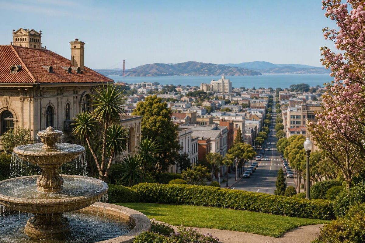
Pacific Heights is best for architecture, bay views, parks and a polished neighborhood atmosphere—not for checking off major attractions. The useful visitor plan is to take Muni uphill, make one compact walk, and finish near shops and restaurants rather than wandering across every steep block.
The neighborhood rises above the Marina and Fillmore, with some of its broadest views around Alta Plaza Park. San Francisco Travel highlights the same essential mix: striking homes, independent shops, cafes and dramatic outlooks (San Francisco Travel). Allow two to three hours, longer if you stop for lunch.
The best short Pacific Heights route
Route: Alta Plaza Park → Fillmore Street → optional Lafayette Park Walking time: About 45 minutes without stops Realistic outing: 2–3 hours Terrain: One significant park climb, rolling streets and another hilly park if you continue
1. Take Muni to Alta Plaza Park
Avoid beginning at sea level in the Marina. The 24 Divisadero stops on Jackson Street at both Scott and Steiner, beside Alta Plaza. SFMTA lists the 24 as a 24-hour daily route serving Pacific Heights (SFMTA). Enter the park from Jackson Street.
Alta Plaza occupies the blocks bounded by Clay, Jackson, Scott and Steiner. Its broad staircase climbs from Clay Street, but starting from Jackson avoids making that staircase your first task. At the summit are city views to the south and bay views to the north, along with benches, restrooms, a playground and courts. The park’s designated wheelchair access is at Scott and Jackson (SF Recreation and Parks). That accessible entrance does not make this full cross-park itinerary step-free.
For the classic staircase perspective, walk down toward Clay Street after reaching the top rather than climbing from the bottom.
2. Walk east to Fillmore Street
Leave near Clay and Steiner, then go one block east on Clay to Fillmore. This section is primarily residential, so the architecture is the experience: look across the street as well as up the hill, and do not treat private homes as public attractions.
Turn south on Fillmore for the neighborhood’s main concentration of cafes, restaurants and shops. The city’s Pacific Heights itinerary groups breakfast, books, shopping and meals along this corridor with an Alta Plaza stop (SF.gov). Business hours change, so choose a stop when you arrive rather than building the entire outing around one storefront.
If your energy is limited, finish here. Continuing to Lafayette Park adds more climbing and is optional.
3. Continue to Lafayette Park only if you want a second park
From Fillmore, continue south to Sacramento Street, then walk east toward Laguna Street and enter Lafayette Park from its western side. The connector is short, but the park itself is hilly.
Lafayette Park has lawns, city and bay views, picnic tables, tennis courts, a playground, restrooms and an off-leash dog area. Recreation and Parks explicitly describes it as a hilly park, so treat it as a destination rather than an effortless add-on (SF Recreation and Parks).
Cross the park toward Gough Street, then continue east to Van Ness Avenue for onward transit. If you would rather end with food or shopping, skip Lafayette Park and stay on Fillmore.
What not to combine on the same walk
The Lyon Street Steps are photogenic, but they sit west of Alta Plaza and create a longer, steeper outing. Add them only if stairs are a goal in themselves. A route trying to cover the steps, both parks, Fillmore Street and the Marina looks compact on a map but requires repeated elevation changes.
The smarter combinations are:
- Architecture and shopping: Alta Plaza → Fillmore Street
- Parks and views: Alta Plaza → Lafayette Park
- Longer active outing: Lyon Street area → Alta Plaza → Fillmore, with no expectation of a low-effort day
For a broader comparison of where this residential district fits among city options, see the best San Francisco neighborhoods by purpose. Pacific Heights is also associated with high-end property, but home prices are not a reason to expect public access; the site’s cautious guide to wealthy neighborhoods explains that distinction.
Getting there without a car
Pacific Heights has no BART station. Use Muni for the last leg rather than walking north from downtown or Japantown just because the map distance appears short.
The 24 Divisadero is the simplest bus for this exact route because it stops along Jackson Street beside Alta Plaza. Other approaches can work better depending on your starting point; check SFMTA’s current routes, stops and trip-planning tools before leaving, especially for temporary stop changes.
If you drive, do not plan the outing around finding convenient curb parking. This one-way walk works better by transit.
When Pacific Heights fits—and when it does not
Choose Pacific Heights when you want a quiet half-day, architecture, a picnic or a cafe stop. It can also provide a slower interval between busier destinations such as Japantown and the Marina.
Choose another neighborhood if you want dense museums, nightlife or famous landmarks within a few blocks. Pacific Heights rewards slow observation, but it can feel uneventful to someone expecting a conventional attraction district.
On a clear day, prioritize Alta Plaza because views can change with fog. In strong wind, rain or poor visibility, shorten the plan to Fillmore Street and nearby cafes and shops; do not force a two-park walk when the outlooks are obscured. Carry a layer even if conditions are warmer elsewhere in the city.
Best default plan: take the 24 to Jackson and Scott, cross Alta Plaza from north to south, descend toward Fillmore Street, and decide over coffee or lunch whether Lafayette Park is worth the second climb.