
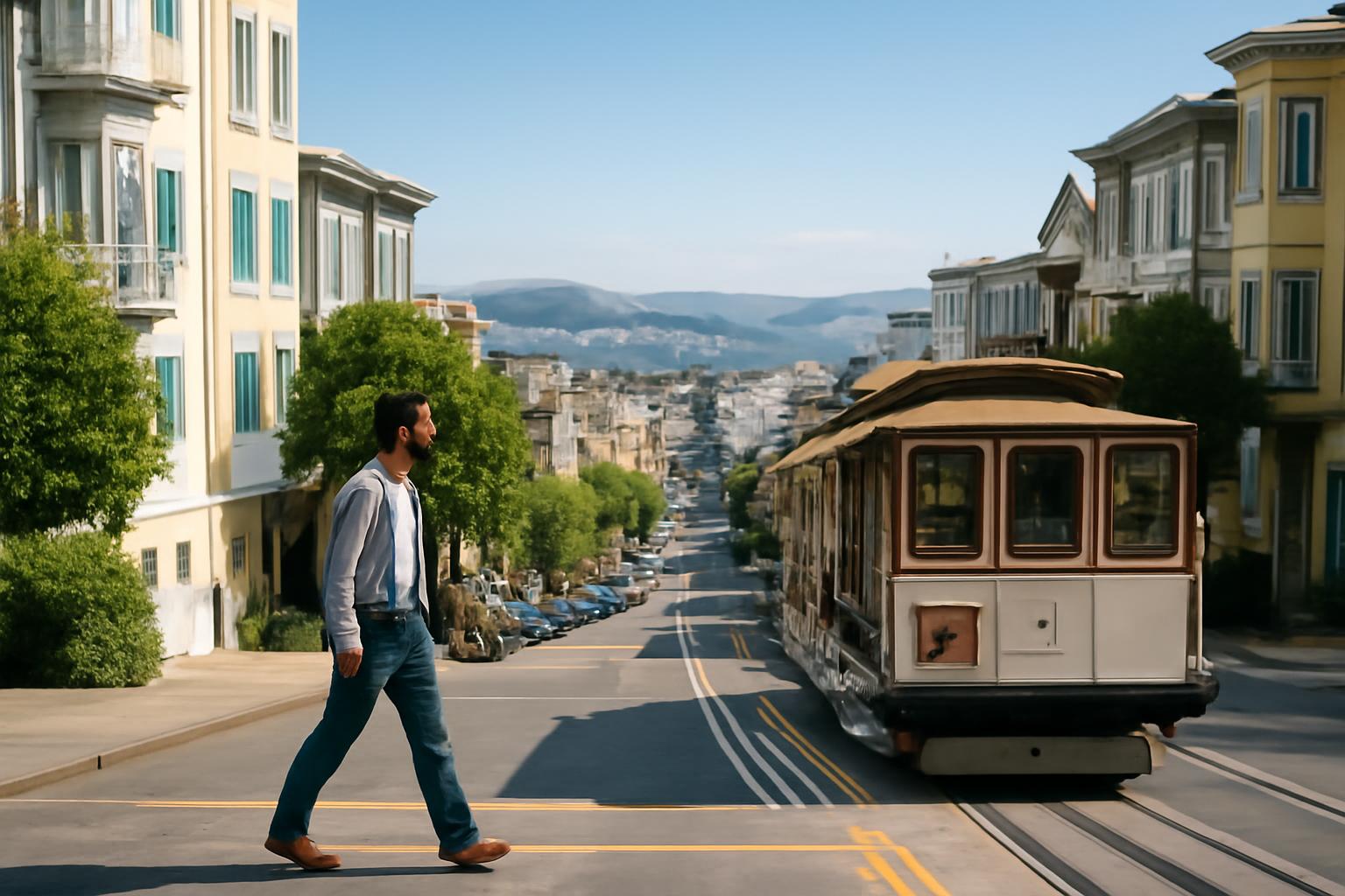
A hill-smart San Francisco day is one where you decide in advance which climbs are worth walking and which ones are not. That is the whole trick. If you leave that choice to the moment, you end up making a lot of tiny uphill decisions and spending more energy than the day deserves.
The easiest way to think about the city is to treat elevation like weather: something to route around, not something to ignore.
Build the day in layers
Start by choosing one high-energy activity and one low-energy activity.
- High-energy: a walk, a viewpoint, a long neighborhood loop
- Low-energy: a museum, a café stop, a transit transfer, a long lunch
Then place them so the climb only happens once.
If you are going uphill in the morning, try to come back down by transit or at the end of the day. If you are starting high, let gravity do some of the work later. That sounds small, but it changes how the whole day feels.
It also keeps the day from having an accidental middle. A lot of tiring San Francisco days happen because people walk one hill, pause, then walk another without ever resetting. The better move is to give the day a clear rise and fall.
Use transit for the steepest links
Transit is not a fallback in San Francisco; it is part of good route design. If two stops are separated by a climb that adds effort without adding interest, take the transit option and save your legs for the places where walking improves the experience.
That matters most when:
- you are crossing between districts with different elevations
- you are carrying bags or camera gear
- the day already includes a long waterfront walk
- you want to keep dinner energy intact
The city is more enjoyable when you treat transit as a hill shortcut instead of a failure.
When the city is wet or windy, transit matters even more. You do not need to “earn” it. You need to preserve the part of your day that actually benefits from walking while avoiding the parts that only add effort.
A good hill-smart pattern
One simple pattern works well:
- Start at the highest or most transit-friendly point.
- Walk through the most interesting downhill stretch.
- Use transit to reset before the next climb.
- End the day on a flatter block if you can.
That keeps the steepest part of the city from stealing the middle of your day.
If you cannot end flat, at least end near your hotel or a transit line that keeps the last segment short. The final stretch is where tired legs make bad route choices. Planning that piece early is usually smarter than deciding later.
What to cluster together
Cluster stops that already sit at a similar elevation. That can mean:
- breakfast and the first viewpoint
- lunch and a nearby museum or market stop
- dinner and an easy evening walk
The point is not to remove every hill. The point is to stop the hills from forcing extra transitions.
What to avoid
Avoid bouncing between districts just because they look close on a map.
Avoid making your first stop the hardest climb of the day unless that is the point of the route.
Avoid pairing a long uphill walk with a packed schedule. If the day is already full, give yourself the easier grades.
Also avoid making every scenic stop into a separate hill problem. Sometimes the best version of a day is one viewpoint, one good walk, and one easy exit instead of a dozen smaller climbs.
If you want to make the route even cleaner, think in pairs: one uphill effort and one downhill reward, one longer walk and one easier reset, one big view and one quiet indoor stop. The less you improvise around elevation, the more the city works with you.
That is the practical version of a hill-smart day: use the terrain when it helps, and stop letting it dictate the whole mood of the trip.
Once you think that way, the city gets simpler. You stop asking the hills to disappear and start asking them to stay in the right place.
That shift makes the whole day easier to plan and easier to enjoy.
The practical test
Ask one question before you leave: will this route still feel good if I am a little slower than expected?
If the answer is yes, the plan is probably balanced.
If the answer is no, the route needs one less climb or one more transit link.
For a base that supports this kind of routing, read how to choose a San Francisco neighborhood base. If you want a route that keeps the bay in view, go to a self-guided Golden Gate waterfront walk next.