
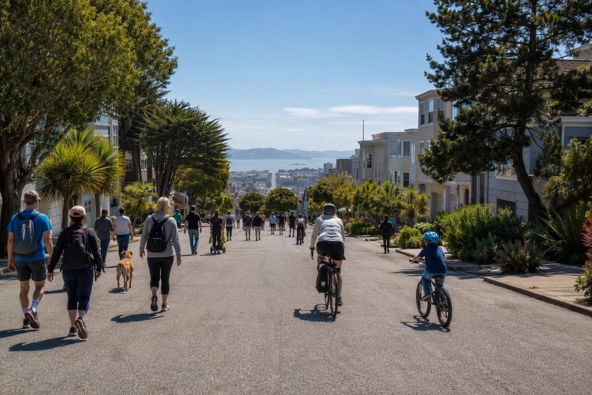
Sunday Streets returns to the Excelsior on Sunday, October 18, 2026. The event is scheduled for 11 a.m. to 4 p.m., but do not build a block-by-block itinerary yet: as of September 28, the organizer has not published the final 2026 route map or street-closure boundaries.
The date appears on the official Sunday Streets season schedule. The hours and Mission Street setting are confirmed by a neighborhood walk co-hosted by Livable City, the nonprofit that runs Sunday Streets. That walk finishes at “Mission Street for Excelsior Sunday Streets,” which runs from 11 a.m. to 4 p.m. The separate walk starts at Cayuga Playground at 9:30 a.m.
What “car-free” means here
Sunday Streets temporarily turns a neighborhood street route into public space for walking, cycling and free community activities. Its routes generally extend one to four miles, but that range describes the program overall—not the still-unpublished Excelsior layout. Activities are provided by neighborhood nonprofits, community groups and small businesses.
“Car-free” does not mean sealed off from every vehicle at every moment. The organizer says vehicle access on the route is limited, while traffic officers may allow crossings at designated intersections and help residents or businesses that require local access. Visitors should move predictably, watch at intersections and leave room for people using mobility devices.
If you must drive, do not expect to park on the route. Sunday Streets says vehicles there are subject to towing beginning at 8 a.m., and it recommends arriving by transit, bicycle or on foot. Anyone who needs vehicle access to a home or business should contact the organizer before the event.
The simplest visit plan
- Check the official event site during the week before October 18. Look for the route map, activity locations, toilets and transportation notices—not just the season listing.
- Use Mission Street as the provisional destination, not a precise entrance. The co-hosted walk confirms that the event reaches Mission Street, but it does not establish the endpoints of the car-free section.
- Check SFMTA updates before leaving. Bus stops and paths through the neighborhood may move once closures take effect. In 2025, the Excelsior edition rerouted the 14, 14R, 49 and 52 and warned of possible delays on the 29. That makes transit changes likely, but last year’s detours and closure boundaries are not a 2026 map. Use the current SFMTA travel-updates page for the 2026 notice when it appears.
- Budget about two hours for a compact visit, then adjust when the activity map appears. Once the endpoints are known, arrive at the end best suited to your transit trip and move through the route once instead of automatically backtracking.
Do not copy the 2025 footprint, which used Mission Street between Avalon and Geneva plus a section of Ocean Avenue. The same corridor may return, but no current organizer page confirms those boundaries for October 18, 2026.
Add the morning walk only if you want hills
The optional three-mile Excelsior Sunday Streets Walk runs from 9:30 a.m. to noon. Its published course begins at Cayuga Playground and visits the Geneva Car Barn and Powerhouse, Balboa Park, Athens-Avalon Greenspace and the La Grande Water Tower before descending to Mission Street. That makes it a hillier neighborhood outing, not merely an entrance walk. The meeting address is 301 Naglee Avenue.
For a lower-effort day, skip that add-on and wait for the Sunday Streets map before choosing your arrival point. If rain or strong wind makes a long outdoor visit unappealing, take one short pass through the activity area near your most convenient transit connection rather than committing to the three-mile morning walk. Check the organizer’s site that morning for any weather-related change.