
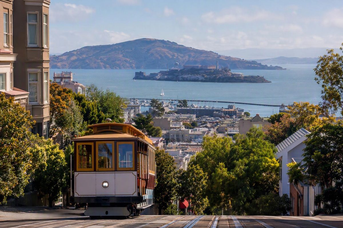
For a San Francisco visit, the useful starting point is named neighborhoods, not numbered voting districts. Choose a few neighboring areas around your interests, then check the hills between them. A short line on the map can still mean a demanding climb.
Pair Chinatown with North Beach, choose the Marina for a northern waterfront outing, or spend a food-and-mural afternoon in the Mission. Treat the Richmond and Sunset as western outings rather than quick additions to a downtown walk.
Districts and neighborhoods aren’t the same map
San Francisco has 11 supervisorial districts for local representation. The Department of Elections publishes numbered district maps and a separate neighborhood map; use its official map directory and address lookup if you need to identify a voting district.
Neighborhood counts are less clear-cut. San Francisco Travel notes that the answer depends on whom you ask, and its visitor guide covers almost two dozen areas. “Mission District,” “Marina District,” Chinatown and Nob Hill are neighborhood names—not parts of one consistent numbered system. Its neighborhood directory and interactive map are useful for getting your bearings.
Where are the main visitor districts?
These are visitor-planning groups, not official boundaries or an exhaustive list. The walking advice applies to the suggested outing, not every street in an area.
| Area and rough location | Choose it for | Walking trade-off |
|---|---|---|
| Union Square and Financial District — downtown/east | Shopping, hotels and a downtown starting point | Union Square is a transit hub. A hotel farther uphill may have a more demanding walk from the station. |
| SoMa / Yerba Buena — south of Market Street | Museums and an indoor-focused afternoon | Keep the outing around your chosen museum rather than trying to cover all of SoMa. |
| Chinatown and North Beach — northeast | Dim sum, Italian-American cafes, bookstores and browsing | Combine their main streets; treat Nob Hill and Coit Tower as separate elevation decisions. |
| Fisherman’s Wharf and the Embarcadero — north/east waterfront | Classic waterfront sightseeing | Staying along the water avoids the inland hill climbs, but distance can still be tiring. |
| Marina — northern shore | Palace of Fine Arts, Chestnut Street and bayside views | A good low-climb choice; adding Pacific Heights changes the effort substantially. |
| Nob Hill, Russian Hill and Pacific Heights — northern hills | Views, architecture, Grace Cathedral or Lombard Street | Pick one hill outing and arrange the uphill leg before you start. |
| Mission District — south-central | Murals, Latino-owned businesses, restaurants and cafes | Choose a Valencia Street-focused or 24th Street-focused walk before adding more stops. |
| Castro — southwest of downtown | LGBTQ+ culture, shops and nightlife | Start around Market and Castro streets; don’t automatically add the surrounding residential hills. |
| Japantown and Fillmore — west of downtown | Japanese food and shopping, plus nearby music heritage | Make this a compact outing; continuing north toward Pacific Heights adds elevation. |
| Haight-Ashbury — central-west | Summer of Love history, vintage shopping and record stores | Keep to the shopping corridor if you don’t want a hillside detour. |
| Richmond and Sunset — western city | Food corridors, Golden Gate Park pairings and the Pacific coast | Choose a specific inner or outer area. Neither district is one short neighborhood stroll. |
| Mission Bay and Dogpatch — southeastern waterfront | Waterfront parks and dining | A less hill-heavy alternative to the northern waterfront. |
San Francisco Travel identifies the waterfront, downtown, SoMa and Dogpatch among the city’s flatter walking choices. Its guides place Nob Hill hundreds of feet above the city and describe Pacific Heights rising from the Fillmore and overlooking the Marina.
Connect neighborhoods without turning the day into a hike
Chinatown → North Beach: Browse north along Grant Avenue, then take Columbus Avenue northwest into North Beach. San Francisco Travel’s self-guided tour visits these streets but also climbs to Nob Hill and offers a Coit Tower detour. Skip those climbs for a simpler—not entirely flat—walk. North Beach has cafes, City Lights Bookstore and Washington Square, not an actual beach. If Coit Tower matters, Muni’s 39 Coit serves the tower from the Wharf and North Beach area.
Marina without the hill add-on: Make the Palace of Fine Arts and Chestnut Street your anchors; both feature in the Marina guide. Don’t add Pacific Heights simply because it looks close. The 22 Fillmore connects the Marina with Pacific Heights and the Fillmore corridor when you do want to combine them.
Mission as a focused afternoon: Valencia Street is the cafe-and-shop corridor; 24th Street offers a concentration of Latino-owned businesses. The Mission guide distinguishes those streets. Pick your meal first, then nearby murals, rather than zigzagging across the neighborhood.
Waterfront with a transit exit: Along the Embarcadero, the F Market & Wharves streetcar serves the Ferry Building and continues to Fisherman’s Wharf. It gives you an alternative to walking the whole waterfront. For a different outing, use our Mission Bay–Dogpatch waterfront walk.
Western city by transit: The Richmond’s food-and-shopping streets include Clement, Geary and Balboa. The 38R Geary Rapid connects downtown with the Richmond. In the Sunset, south of Golden Gate Park, the N Judah links downtown, the Inner Sunset and Ocean Beach. For a compact food outing, use our Clement Street walk.
Check the linked Muni route pages for current stops and alerts before setting out.
Keep a weather alternative
The Richmond and Sunset are particularly prone to fog. Don’t make a western outing depend entirely on a clear ocean view.
For rain or an unpleasant waterfront wind, switch to an indoor anchor: Japan Center’s malls in Japantown, or SFMOMA in SoMa. As of October 11, 2026, SFMOMA’s standard schedule is closed Wednesdays; Japan Center merchants keep individual hours. Check your chosen venue, then shorten the surrounding walk rather than preserving every outdoor stop.
If you’re choosing accommodation rather than a day out, use our neighborhood comparison by purpose. Check the actual hotel entrance, nearest stop and final uphill walk—not just the neighborhood label.