
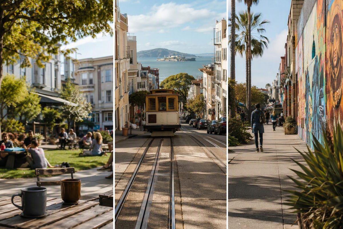
For an urban neighborhood afternoon in San Francisco, start with Hayes Valley for a compact shopping-and-café visit, North Beach for books and Italian-American café culture, or the Mission for murals and food.
Choose one main street, one cultural stop and somewhere to eat. Treat a nearby hilltop or park as an optional extension, rather than something the map obliges you to reach.
Choose the kind of afternoon you want
| Neighborhood | Best fit for this plan | Short walking focus | Walking-effort decision |
|---|---|---|---|
| Hayes Valley | Shops, cafés and a performance later | Hayes Street around Octavia | Keep the visit compact; don’t automatically add Alamo Square |
| North Beach | Books, cafés and an unhurried meal | Columbus Avenue between City Lights and Washington Square | Separate the neighborhood stroll from the climb to Coit Tower |
| Mission | Public art, browsing and food | Valencia Street near 16th–20th streets | Keep the short outing on this corridor rather than adding distant mural stops |
Allow roughly two to three hours for any one of these plans, including a meal or browsing time. That is a planning allowance, not a timed walking estimate; a concert or film needs its own additional block of time.
Hayes Valley: the compact choice
Hayes Valley suits visitors who want several small stops rather than one big attraction. San Francisco Travel describes a neighborhood of clothing, accessory and home-goods shops, with bars and restaurants serving nearby theatergoers. Its neighborhood guide is useful for deciding whether that mix appeals to you.
Suggested sequence: begin around Franklin and Hayes streets, walk west along Hayes to Octavia, browse the surrounding blocks, then pause at Patricia’s Green. Keep extending west only while the shops—not the next landmark—are still the point of the outing.
Patricia’s Green is a convenient outdoor break, but not a full-service park stop: Recreation and Parks lists first-come picnic tables and no restrooms. Plan a restroom break elsewhere rather than relying on the green. Check the city’s facility information.
For an evening anchor, SFJAZZ Center is at 201 Franklin Street, at Fell. Its visitor page identifies Van Ness Muni Metro and Civic Center Muni/BART as transit approaches. Book a performance first, then fit shopping and dinner around it; check the event’s actual venue because not every SFJAZZ presentation is at the Center. SFJAZZ visit information and performance calendar provide those details.
The 22 Fillmore stops at Fillmore and Hayes, farther west than this compact plan. It is useful if you extend the outing toward Fillmore; see our Hayes Valley neighborhood walk for a longer version.
North Beach: books and cafés without the tower climb
North Beach has a strong Italian-American community, restaurants and cafés, alongside Beat literary connections. It does not have an actual beach. East of Washington Square, Telegraph Hill rises toward Coit Tower—a meaningful change in walking effort, not just another nearby pin. San Francisco Travel’s North Beach guide explains those distinctions.
Suggested sequence: browse City Lights, follow Columbus Avenue northwest toward Washington Square, then choose a café or meal nearby. This keeps the afternoon focused on the commercial streets rather than the hill above them.
City Lights is at 261 Columbus Avenue and, as checked October 14, 2026, lists daily hours of 10 a.m.–10 p.m. That makes it a useful anchor for either an afternoon or an early-evening visit. See the bookstore’s visitor details.
The 30 Stockton runs along Columbus and through downtown, offering a way to arrive or leave without making a cross-city walk part of the outing. If Coit Tower matters more than browsing, plan it separately; don’t treat this short street-level plan as a tower itinerary.
The Mission: keep the mural-and-food plan on one corridor
The Mission offers several distinct commercial streets. Valencia has cafés, bars and clothing shops; Mission Street has its own restaurant-and-shop mix, while 24th Street includes numerous Latino-owned businesses. They are not interchangeable stops on a single short stroll. San Francisco Travel’s Mission guide helps distinguish them.
Suggested sequence: start near 16th and Valencia, walk south, make a short detour into Clarion Alley, then return to Valencia and continue browsing toward 20th Street before choosing a meal.
Clarion Alley runs between Mission and Valencia, between 17th and 18th streets. Its community-directed mural project centers social-justice messaging and storytelling; allow time to read the work rather than treating it only as a photo backdrop. Keep doorways clear. Read about the project and its location.
For transit, 16th Street Mission BART and the 22 Fillmore on 16th Street provide useful starting or return points. The nearby Roxie Theater, at 3117 16th Street, describes itself as a three-minute walk from BART and lists ground-level, wheelchair-accessible lobbies and restrooms. Its arrival information makes it a practical indoor anchor. Our Mission visitor guide covers the broader neighborhood.
Check the linked transit pages for current stops and service alerts before setting out.
If the weather turns
In rain, shorten the outdoor portion rather than transferring across town to rescue the original plan. North Beach can become City Lights plus a meal; the Mission can become a booked Roxie screening plus nearby food. Hayes Valley works better around a scheduled performance than around a long outdoor pause.
If you are choosing lodging rather than an afternoon visit, check the exact address and your return route after dinner. A neighborhood you enjoy browsing may still be an inconvenient base. Use our neighborhood-base decision guide to weigh that repeated journey.